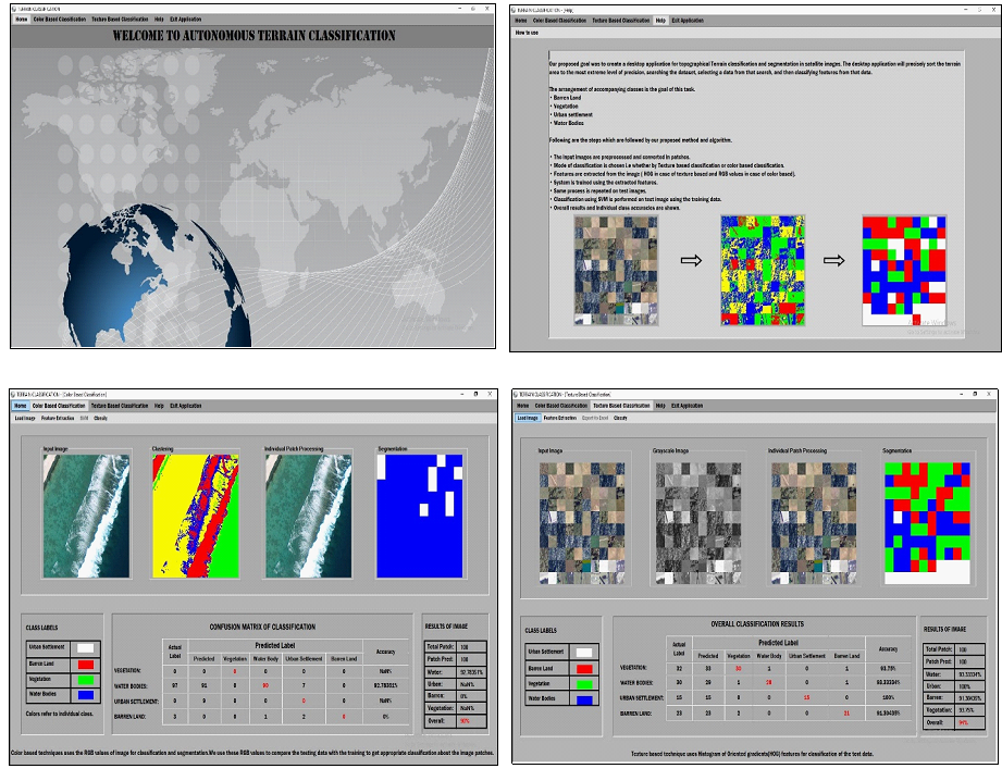
Geographics Information System (GIS) is a structure for collecting, overseeing, and examining information. Established in the study of geography, GIS incorporates numerous kinds of data. Terrain segmentation and classification is a vital step of any GIS based application. It can be used to determine the various landforms in a region. Keeping in view its importance, the objective of this project was to develop a desktop application for terrain segmentation and classification in satellite images. Classification of four generic land forms (Urban settlement, Barren lands, Vegetation and Water Bodies) were targeted by this system. By applying both Color based and Texture based techniques, class accuracies comparable with state-of-the-art were achieved.